
Gravel bike routes near you
Ride further off the beaten path with gravel adventures worldwide.
Discover with Bikemap
Looking for scenic gravel rides, forest roads, or remote backcountry trails?
Gravel bike routes take you beyond paved roads and into nature. Discover scenic forest tracks, quiet farm roads, and remote gravel paths ideal for adventure riding. Whether you’re planning a solo backcountry escape or a weekend ride with friends, Bikemap helps you find the best gravel routes with detailed surface data, elevation profiles, and route stats. Explore gravel cycling routes near you or around the world.
For your gravel bike
Explore the world’s best gravel routes
From alpine fire roads to coastal forest trails—these are the top-rated gravel routes from the Bikemap community. Get inspired and start planning your next ride.
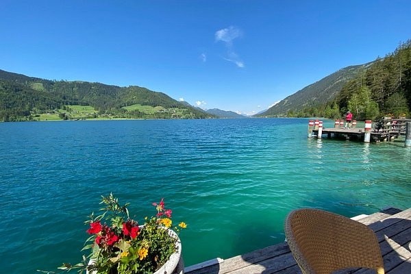
 Marias Land Loop von Flatz
- Distance
- 45.5 km
- Ascent
- 1,302 m
- Descent
- 1,303 m
- Location
- Ternitz, Lower Austria, Austria
 27.6. Berg im Drautal - Villach
- Distance
- 76.8 km
- Ascent
- 1,726 m
- Descent
- 1,832 m
- Location
- Berg im Drautal, Carinthia, Austria
 Belwood to Elora and Back
- Distance
- 40.9 km
- Ascent
- 239 m
- Descent
- 240 m
 Uxbridge to Peterborough
- Distance
- 92.2 km
- Ascent
- 356 m
- Descent
- 428 m
- Location
- Uxbridge, Ontario, Canada
 Central Valley Greenway / BC Parkway
- Distance
- 45.4 km
- Ascent
- 439 m
- Descent
- 442 m
- Location
- Vancouver, British Columbia, Canada
 Central Lonsdale - Circle to Cypress Mountain Ski Station
- Distance
- 56.1 km
- Ascent
- 1,594 m
- Descent
- 1,576 m
- Location
- North Vancouver, British Columbia, Canada
 VUELTA AL ABRA DEL HINOJO- desde Villa Ventana
- Distance
- 140.6 km
- Ascent
- 552 m
- Descent
- 556 m
 CICLOTURISMO A Gral. D. CERRI
- Distance
- 31.5 km
- Ascent
- 27 m
- Descent
- 50 m
- Location
- Bahía Blanca, Buenos Aires, Argentina
 Motueka River West Bank Road 927, Motueka Valley nach Tahunanui Drive 100, Nelson
- Distance
- 116.2 km
- Ascent
- 1,615 m
- Descent
- 1,636 m
- Location
- Port Motueka, Tasman, New Zealand
 Wakefield Dovedale Tapawera
- Distance
- 77.4 km
- Ascent
- 1,170 m
- Descent
- 1,171 m
- Location
- Wakefield, Tasman, New Zealand
 Round Mountain Loop 54km
- Distance
- 54.7 km
- Ascent
- 1,171 m
- Descent
- 1,169 m
- Location
- Pottsville Beach, New South Wales, Australia
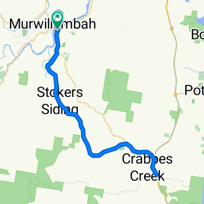 Recovered Route
- Distance
- 48.5 km
- Ascent
- 375 m
- Descent
- 375 m
- Location
- Murwillumbah, New South Wales, Australia
 Biking Yangshuo - Xingping - Yangdi
- Distance
- 42.4 km
- Ascent
- 980 m
- Descent
- 947 m
- Location
- Yangshuo, Guangxi Zhuang Autonomous Region, China
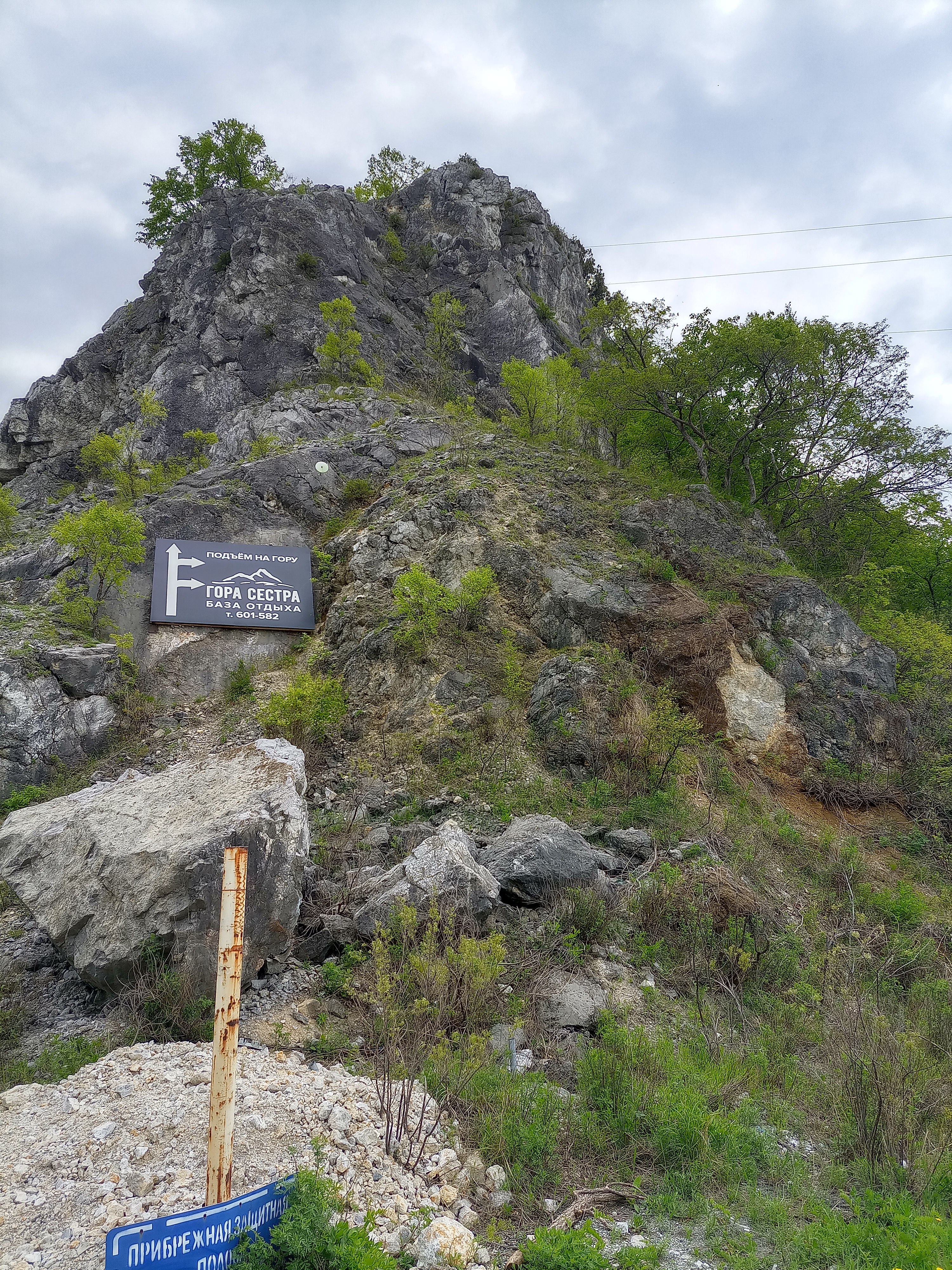 Буденовка- сопки Сестра и Брат -Буденовка
- Distance
- 35.1 km
- Ascent
- 278 m
- Descent
- 337 m
- Location
- Vladimiro-Aleksandrovskoye, Primorskiy Kray, Russia
 NIBM Road-Sinhagad Fort
- Distance
- 35 km
- Ascent
- 894 m
- Descent
- 302 m
- Location
- Pune, Maharashtra, India
 Day 5: Chandigarh-Solan
- Distance
- 66.2 km
- Ascent
- 1,590 m
- Descent
- 384 m
- Location
- Chandigarh, Chandigarh, India
 bypass batobeach ambatobe
- Distance
- 38.5 km
- Ascent
- 649 m
- Descent
- 649 m
- Location
- Antananarivo, Analamanga Region, Madagascar
 pedro manakavaly betsizaraina bypass
- Distance
- 45.1 km
- Ascent
- 908 m
- Descent
- 923 m
- Location
- Antananarivo, Analamanga Region, Madagascar
 London to Watford - Grand Union Canal
- Distance
- 43 km
- Ascent
- 92 m
- Descent
- 46 m
- Location
- Brentford, England, United Kingdom
 bfcic: Twicks - Windsor - W.Drayton(Canal) 2 Brentford - Twicks
- Distance
- 68.3 km
- Ascent
- 90 m
- Descent
- 91 m
- Location
- Twickenham, England, United Kingdom