
Mountain bike trails near you
Explore technical trails, forest paths, and hidden singletracks around the world.
Discover with Bikemap
Craving off-road climbs, downhill action, or wild rides through the woods?
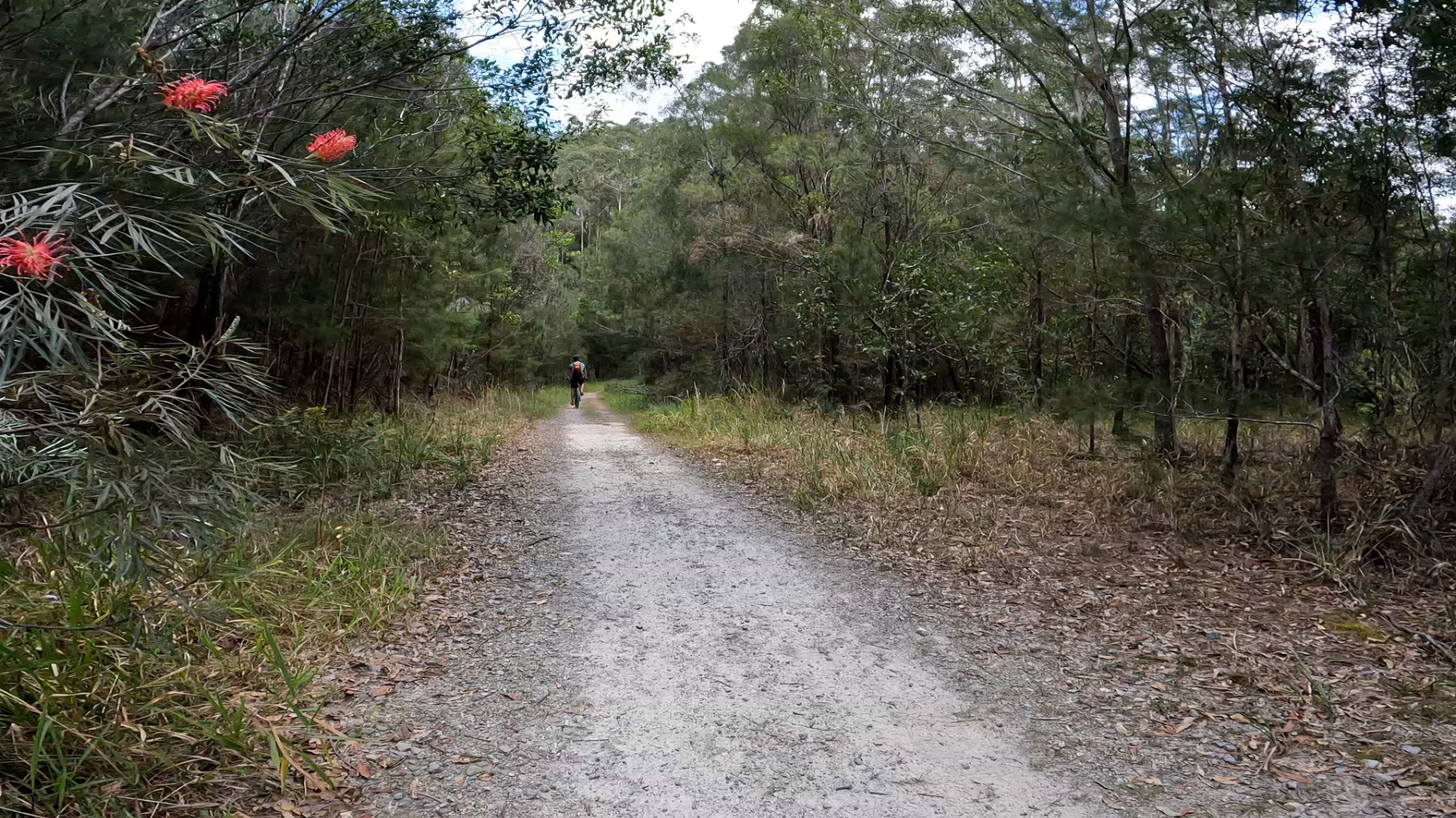
Mountain bike trails offer off-road excitement, technical terrain, and wild forest adventures. Explore MTB routes with singletrack, rocky climbs, and fast descents — all shared and rated by the global Bikemap community. Whether you’re looking for beginner-friendly trails or expert-level rides, you’ll find detailed surface data, elevation charts, and trail insights to guide your next ride.
For your mountain bike
Shred the world’s best mountain bike trails
From rooty forest loops to alpine descents—these are the highest-rated MTB routes shared by riders like you. Get ready to ride.
 Marias Land Loop von Flatz
- Distance
- 45.5 km
- Ascent
- 1,302 m
- Descent
- 1,303 m
- Location
- Ternitz, Lower Austria, Austria
 Der Drache II - Flatzer Wand Loop ohne Fahrverbote
- Distance
- 25.5 km
- Ascent
- 646 m
- Descent
- 646 m
- Location
- Ternitz, Lower Austria, Austria
 De Rue de la Traverse 1272, Prévost à Rue Guénette 1276, Prévost
- Distance
- 63 km
- Ascent
- 433 m
- Descent
- 396 m
- Location
- Prévost, Quebec, Canada
 Vaughan Return to Kleinburg
- Distance
- 44.3 km
- Ascent
- 424 m
- Descent
- 425 m
- Location
- Concord, Ontario, Canada
 Central Valley Greenway / BC Parkway
- Distance
- 45.4 km
- Ascent
- 439 m
- Descent
- 442 m
- Location
- Vancouver, British Columbia, Canada
 Central Lonsdale - Circle to Cypress Mountain Ski Station
- Distance
- 56.1 km
- Ascent
- 1,594 m
- Descent
- 1,576 m
- Location
- North Vancouver, British Columbia, Canada
 ilalo, cruz del ilalo
- Distance
- 22.3 km
- Ascent
- 909 m
- Descent
- 911 m
- Location
- Tutamandahostel, Provincia de Pichincha, Ecuador
 Tremembé, Cicloturística, Piracuama
- Distance
- 58.1 km
- Ascent
- 639 m
- Descent
- 657 m
- Location
- Taubaté, São Paulo, Brazil
 Ongarue to Piropiro - Timber Trail part 2
- Distance
- 45 km
- Ascent
- 1,098 m
- Descent
- 858 m
 J'ville - Ohairu - Spicer Forest - Return Loop
- Distance
- 23.9 km
- Ascent
- 530 m
- Descent
- 528 m
- Location
- Petone, Wellington, New Zealand
 Cooroora MTB Trail Pomona
- Distance
- 18.1 km
- Ascent
- 430 m
- Descent
- 430 m
- Location
- Black Mountain, Queensland, Australia
 Round Mountain Loop 54km
- Distance
- 54.7 km
- Ascent
- 1,171 m
- Descent
- 1,169 m
- Location
- Pottsville Beach, New South Wales, Australia
 Biking Yangshuo - Xingping - Yangdi
- Distance
- 42.4 km
- Ascent
- 980 m
- Descent
- 947 m
- Location
- Yangshuo, Guangxi Zhuang Autonomous Region, China
 Neizvestnaya Doroga, Russkiy to Neizvestnaya Doroga, Russkiy
- Distance
- 24.7 km
- Ascent
- 446 m
- Descent
- 457 m
- Location
- Russkiy, Primorskiy Kray, Russia
 NIBM Road-Sinhagad Fort
- Distance
- 35 km
- Ascent
- 894 m
- Descent
- 302 m
- Location
- Pune, Maharashtra, India
 Day 5: Chandigarh-Solan
- Distance
- 66.2 km
- Ascent
- 1,590 m
- Descent
- 384 m
- Location
- Chandigarh, Chandigarh, India
 bypass batobeach ambatobe
- Distance
- 38.5 km
- Ascent
- 649 m
- Descent
- 649 m
- Location
- Antananarivo, Analamanga Region, Madagascar
 pedro manakavaly betsizaraina bypass
- Distance
- 45.1 km
- Ascent
- 908 m
- Descent
- 923 m
- Location
- Antananarivo, Analamanga Region, Madagascar
 the BBC (Big Barnes Cycle)
- Distance
- 25.2 km
- Ascent
- 707 m
- Descent
- 732 m
- Location
- Hammersmith, England, United Kingdom
 Watlington mtb route
- Distance
- 35.2 km
- Ascent
- 480 m
- Descent
- 479 m
- Location
- Watlington, England, United Kingdom